

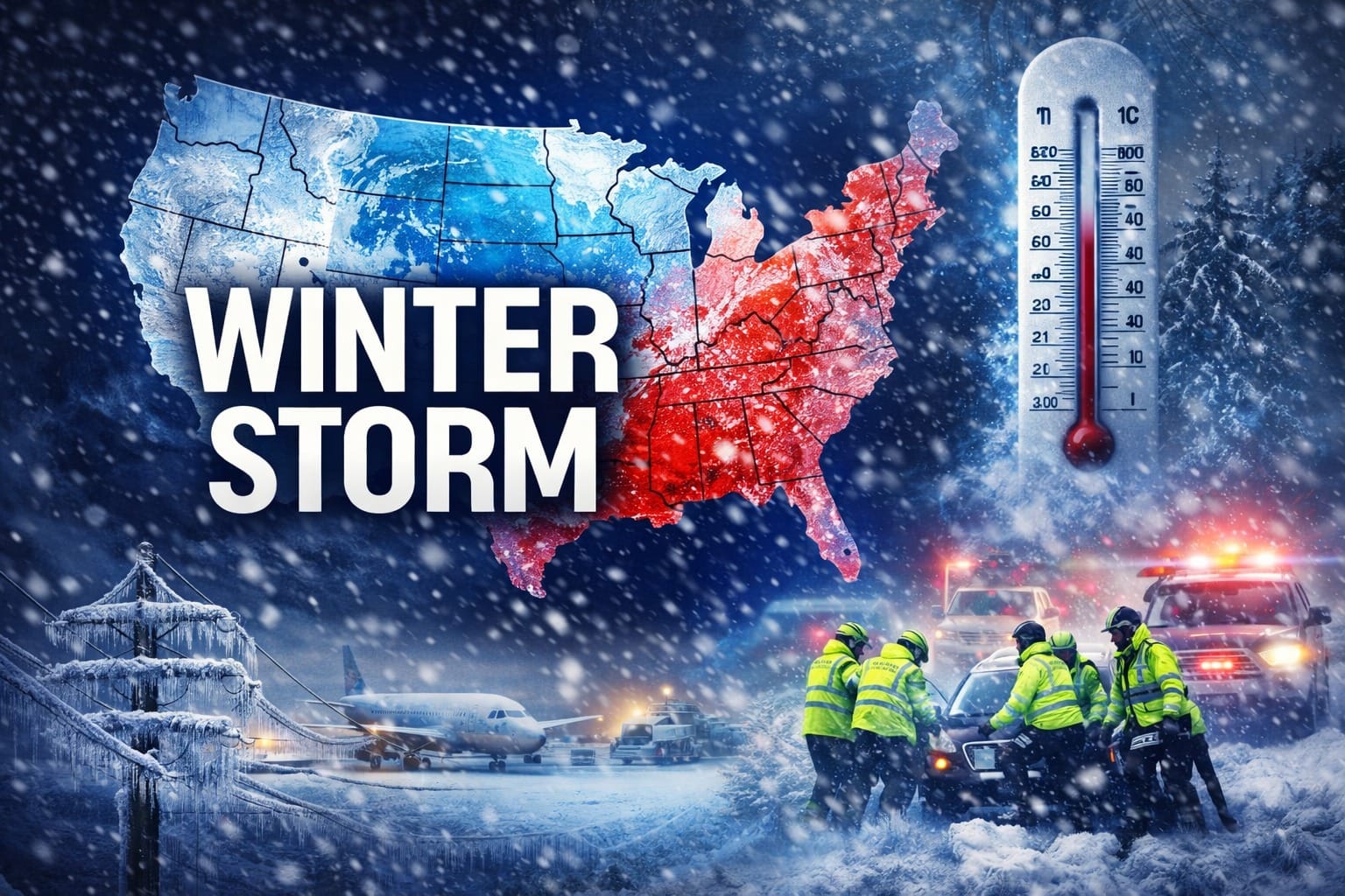
As of late January 2026, the United States is grappling with one of the most expansive and dangerous winter storms in years, affecting hundreds of millions of Americans from the Deep South to the Northeast. The storm — unofficially dubbed Winter Storm Fern — has brought a powerful combination of heavy snow, ice, freezing rain, and dangerously low temperatures that experts warn could disrupt daily life, travel, infrastructure, and public safety across much of the country for several days.
This detailed, SEO-optimized article breaks down what is causing the storm, why it is so dangerous, and the scope of its impact — with live updates and expert insights.
What Is Happening: A Storm of Uncommon Scale
The January 2026 North American winter storm began forming on January 22, 2026, as a large low-pressure system over the Pacific moved southeastward toward Mexico and the U.S. Southwest. Meteorologists describe the system as sprawling and powerful, stretching roughly 2,000 miles from the Rockies to the Atlantic Coast and affecting regions as disparate as Texas, the Midwest, and New England.
Forecasters say this storm will bring a dangerous mix of heavy snow, freezing rain, sleet, and bitter cold air across the Southern Plains, Midwest, Mid-Atlantic, and Northeast, with weather alerts and watches in effect for more than 230 million Americans.
Airlines, state authorities, and transportation agencies are already feeling the effects, with thousands of flights canceled and states declaring emergencies to mobilize resources and preemptively protect residents.
Also read – Everything You Need To Know About The BRICS Currency “UNIT”
Why It’s Happening: The Science Behind the Storm
At its heart, this storm is the product of several interacting meteorological factors:
🔹 A Large Low-Pressure System
A low-pressure center moved southeast from the Pacific and drew in warm, moist air from the Gulf of Mexico. When that moisture collided with an influx of Arctic air from Canada, it created conditions ripe for heavy snowfall and freezing precipitation.
🔹 Arctic Air Influx
Strong Arctic air, aided by shifts in the polar jet stream, has pushed unusually cold air deep into the continental U.S. This cold air supports the formation of snow, ice, and extremely low temperatures — in some regions plummeting to wind chills well below freezing.
🔹 Broad Geographic Reach
The storm’s expansive footprint means that temperature, precipitation type, and severity can vary drastically. Southern states like Texas and Georgia are seeing ice and sleet, while states farther north could be facing foot-plus snowfall totals and sub-zero wind chills.
This combination — moist air meeting Arctic cold over a broad area — is a hallmark of impactful winter storms, and experts say it’s likely to remain in place through the weekend.
🌬️ The Scale: Who Is Affected and How
Meteorologists and emergency services are clear: this storm is historic in scope.
🧊 People and Regions Under Threat
- Over 230 million Americans are under winter weather alerts, meaning the vast majority of the U.S. population is facing some level of impact.
- States from Texas and Arkansas through the Midwest and Northeast are all forecast to receive hazardous conditions ranging from ice to heavy snow.
- Cities like Oklahoma City, Nashville, Dallas, New York City, and Boston are among the hardest hit, with snow totals projected up to or exceeding 10–16 inches in some areas.
✈️ Travel Disruptions
The travel industry is already reeling. Nearly 6,000 U.S. flights have been canceled through Sunday due to the storm’s impacts on airports and air traffic.
Disruptions include:
- Major hubs like Dallas Fort Worth, Charlotte, Atlanta, and others canceling or delaying flights.
- Airlines issuing travel waivers due to hazardous runway conditions.
- Thousands more cancellations likely as the storm intensifies.
❗ How Dangerous Is It? Key Risks Explained
📉 Bitter Cold & Wind Chill
One of the most dangerous aspects of this storm is the extreme cold that accompanies it. Wind chills in parts of the Midwest are expected to fall far below freezing, creating conditions that can lead to frostbite in minutes and put strain on heating systems.
Temperatures in some regions could drop below zero, with wind chill making it feel even colder — posing real risks to those without adequate shelter or heating.
🚗 Hazardous Travel Conditions
Heavy snow, ice, and sleet will make roads treacherous:
- Black ice and freezing rain can form quickly on highways and bridges.
- Snow drifts and wind gusts can reduce visibility.
- Drivers may find interstates and rural roads impassable.
Officials are urging people to avoid travel if possible, especially during the storm’s peak.
⚡ Power Outages and Infrastructure Strain
Ice accumulation on trees and power lines can snap support structures and lead to widespread outages. Combined with bitterly cold temperatures, losing electricity can become a life-threatening issue — particularly for vulnerable populations.
Communities ill-equipped for heavy ice or snow are especially at risk.
🐾 Public Health and Safety Warnings
This storm isn’t just an inconvenience — it’s a health hazard:
- Frostbite and hypothermia risk rise dramatically in prolonged exposure.
- Travel disruptions can delay emergency services.
- Vulnerable groups — the elderly, homeless individuals, and pets — face heightened danger.
Veterinary and animal welfare organizations are urging pet owners to keep pets indoors, check for exposure risks, and protect animals from toxic chemicals like antifreeze and de-icers.
📉 How It Compares to Past Storms
While every storm is unique, this one’s breadth and intensity stand out:
- Expert models suggest it may rival some of the widest-reaching storms in recent decades, with snow and ice across locations not typically accustomed to such weather.
- In contrast, past winter storms often impacted parts of the country, whereas this event stretches across multiple climate zones simultaneously.
✔️ What Residents Should Do
Authorities across affected states are strongly advising:
- Avoid unnecessary travel.
- Prepare emergency kits with food, water, blankets, and medications.
- Check on vulnerable neighbors and relatives.
- Stay informed by following local weather advisories and updates from the National Weather Service.
Preparation is key — forecasts indicate the storm’s impact will linger beyond snowfall, especially with prolonged cold.
🧠 Final Takeaway: A Historic Storm With Real Risks
The January 2026 U.S. winter storm is not a typical seasonal event — it is an exceptionally large, dangerous, and far-reaching weather system that threatens life, property, travel, and infrastructure across a huge swath of the country. From Texas to Maine, millions are confronting heavy snow, freezing rain, ice and bitter cold that could have effects lasting days beyond the storm’s passage.
With aviation disruptions, hazardous roads, extreme temperatures, and public safety warnings already underway, this storm represents a significant weather event that demands serious attention and preparation.
Subscribe to our YouTube Channel The Logic Stick for more Video Insights